Topography
The variability of the topography ranges is from 350m to 400 m. The relief is slightly undulating and is characterized by generally moderate slopes covered by laterite boulders.
The vegetation is controlled to a large extent by the physiography. Low density shrubs and grassland on the plains dominate the area. The stream beds, which are generally dry for all, but a few months of the year contain the densest vegetation consisting of trees, shrubs, and grasses. The lateritic plateau in the area are covered by low density shrubland, grass and occasional trees.
Natural water supply is provided on the territory by a river crossing horizontally the area.
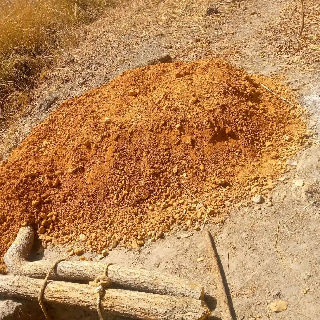
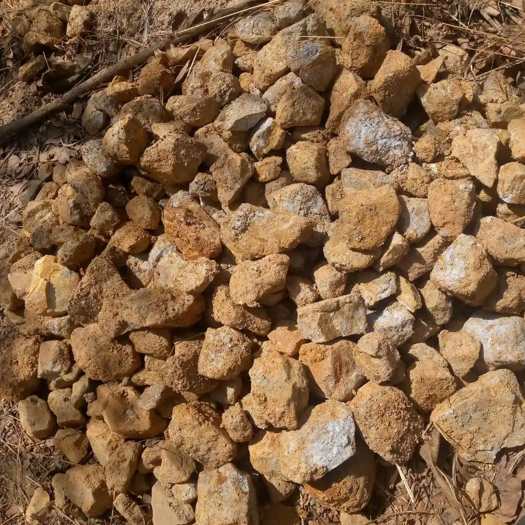
Artisanal gold mining is prevalent on the territory. Both abandoned and functional sites can be found scattered in the field. The most intense artisanal activity is based on the north eastern part of the territory from where the laboratory results of the holes are also very promising.
Preparations
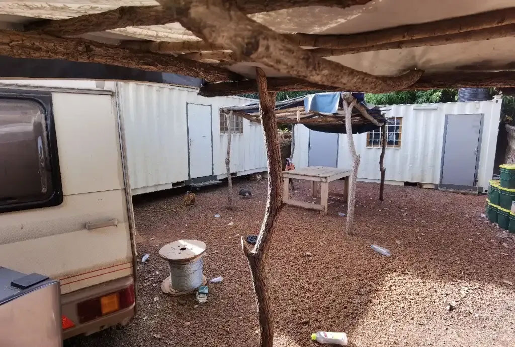
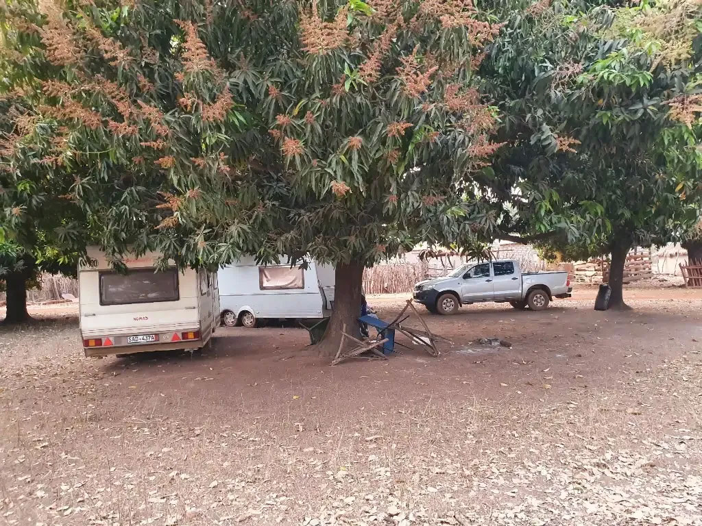
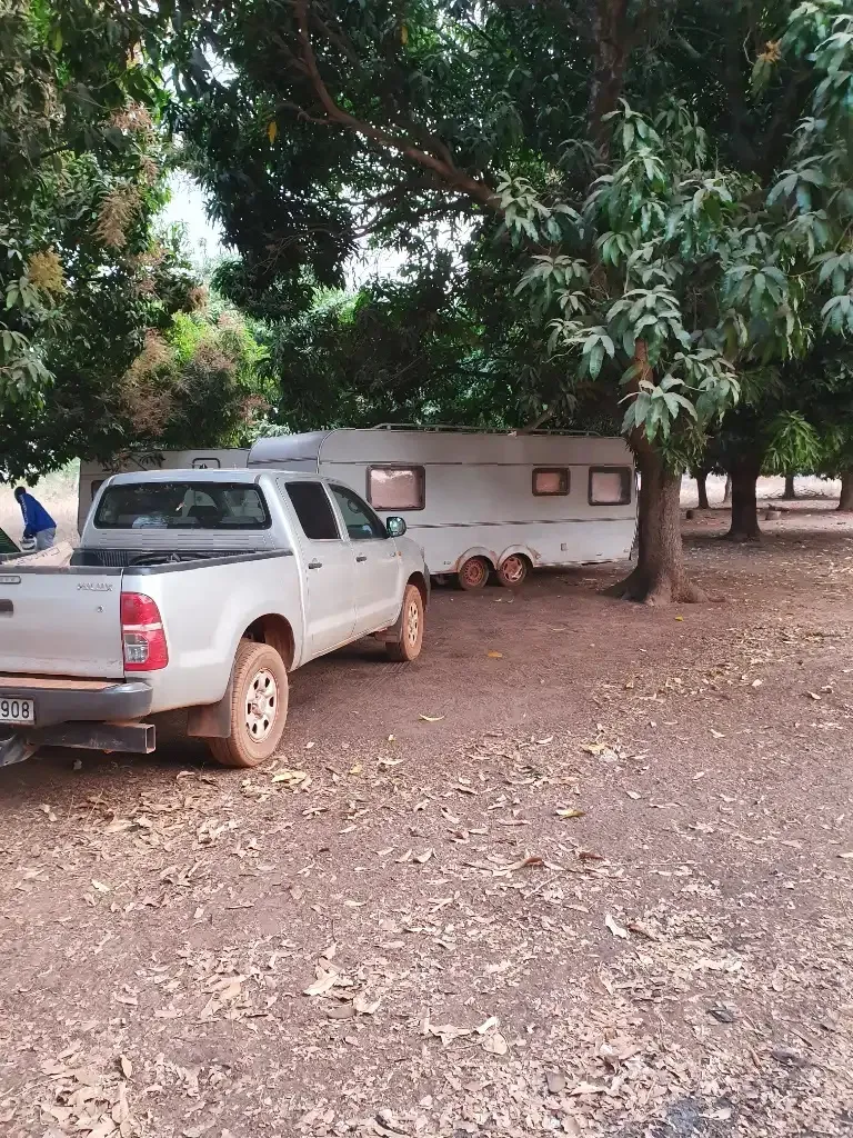
Construction of the exploration camp for better monitoring of research activities;
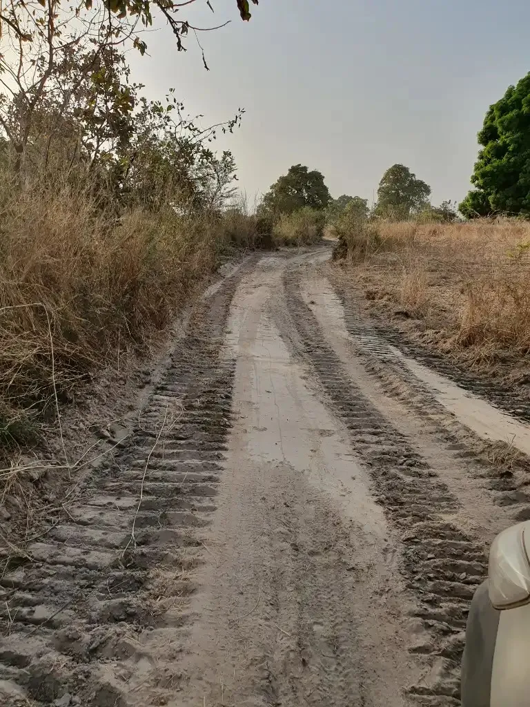
Construction of a 6.7 km track from the paved road leading to Yanfolila. This passage can now be used by heavy machinery during the rainy season;
Rehabilitation of the Namacoro bridge with stones and concrete;
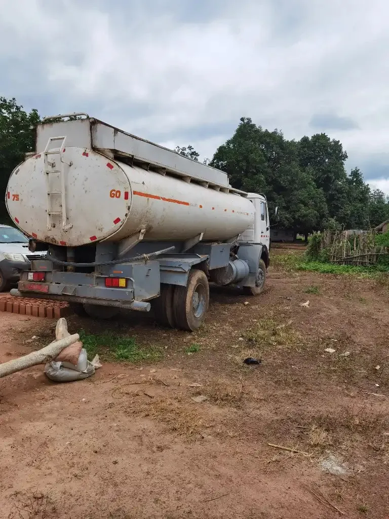
Opening of secondary tracks connecting the sounding points: 4 tracks were created between Tola and the river, totaling 10 km. They also allow trucks to transport water (for drilling needs) and sand from the river.
Drilling Sites
Site visits have long been held in high regards by exploration companies. Most
professionals agree that the cleanliness and hygiene of a site, facility, operation,
and their respective sub-parts reflect the management, project, operation, and
culture in general. A site visit is normally used to validate information and data on a particular property.
The necessary equipment and software to gather and transmit sensory
information. This equipment can vary from a simple GPS (Global Positioning
System) to surveying and measurement tools, including helmet, camera, eye
glass, and drones if possible. Field activity involves searching for concentrations of naturally occurring solid materials and includes stratigraphical and mineral to delineate or greatly extend the limits of known deposits by geological, geophysical, geochemical, drilling, or other methods. This includes drilling of boreholes for exploration.
2015-2016
First Phase
In November 2015 Geochemical research of the territory of 4 x 1 km ² (4×1 km² , mesh of 100m x 50 m, 1500 samples + 10 pitches
Spring of 2016: The beginning of the application of the new technology, the designation of the 10 points for drilling. The spots of mineralization designated by the results of the traditional geology coincide with the territories determined by the new technology as the territories with prognosticated 5 spots of gold resources.)
July – August 2016: Drilling of 10 holes on 1 km²- (diamond drilling, 500 m depth)
Autumn 2016: 3D models of two other 1 km² spots are made.
2019-2021
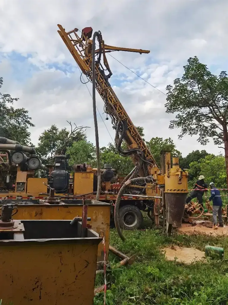
Drillings
The drilling program was prepared by site buildings, negotiations with drilling companies, site visits, infrastructure building etc. A good relationship was established with the local tribes.
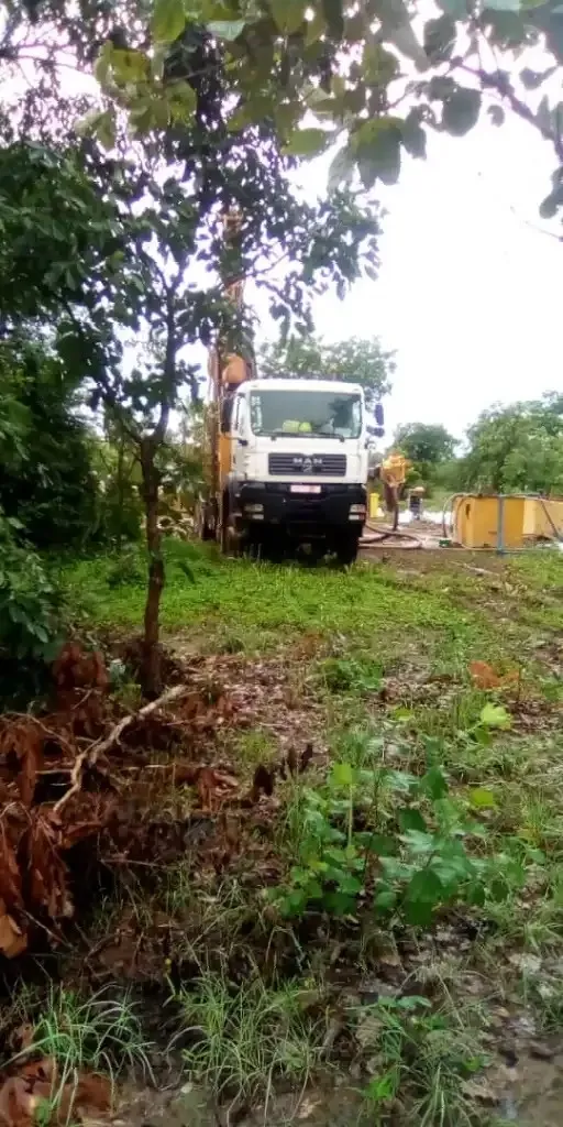
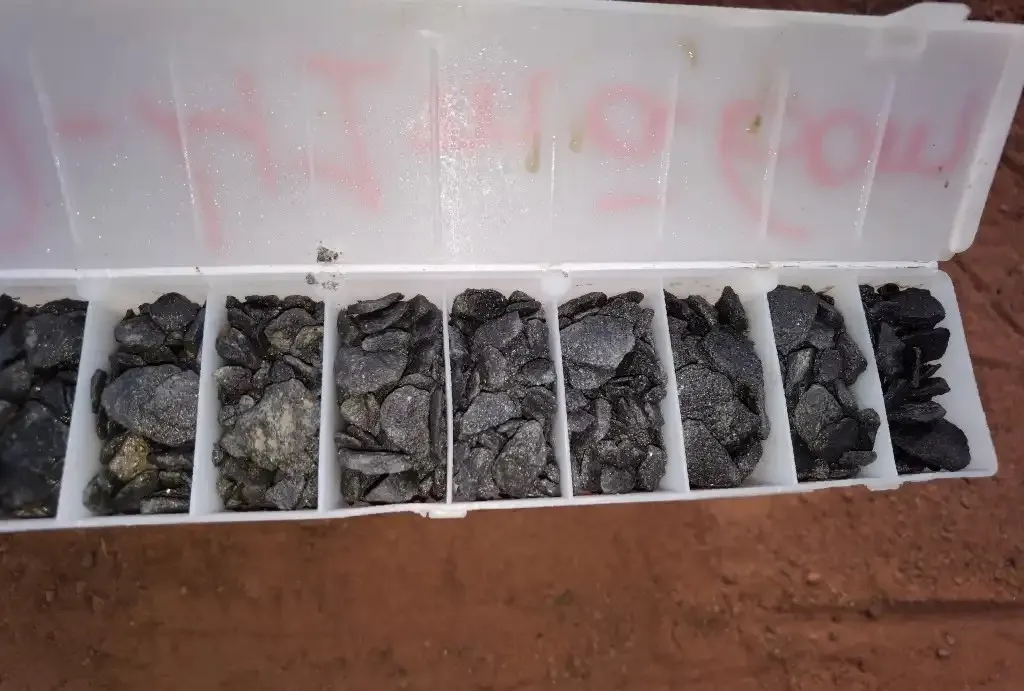
In 2020 drillings were started. More than 5000 meters have been drilled in 36 holes, 7 trenches were made. The depth of the holes was between 150 and 300 meters depending on the geological structure and the projected ore body.
Drillings were carried out in the most cost effective way possible. Cheaper reserve circulation drillings were prevalent in the top of the layers of the crust. Diamond drillings were prevalent from 50 or 70 meters. The drillings proved the correctness of the geological structure of the area forecasted by the Russian 3D model apart from the model classic geological methods a were applied with the involvement of the most prominent geologist in the country.
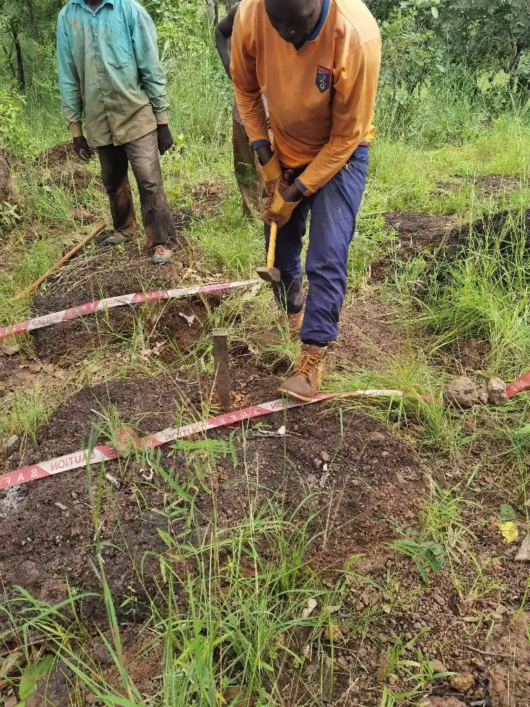
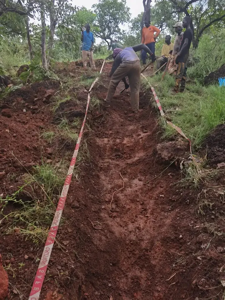
Trenching
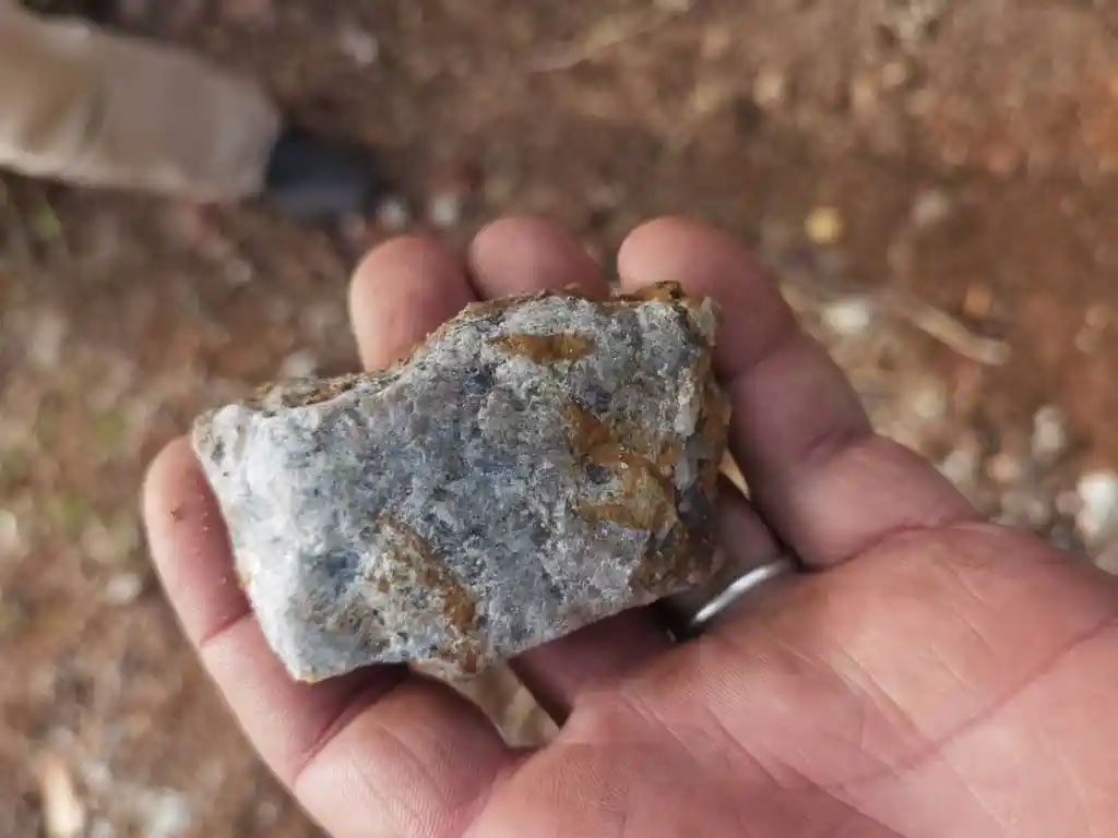
The geological structure of the territory has been identified. During the rainy season classical geological methods were tested on the plot in order to confirm the presence of the ore site. The local geologist and his team found promising anomalies. Old panning wells indicate artisanal gold mining in the area. Holes and quartz veins reinforce the assumption of gold ore being present. Trenches have been dug to identify the fault line’s direction, which separates the different layers. Both the local and the chief geologists are excited about the findings. For this reason, the holes were drilled in this area.
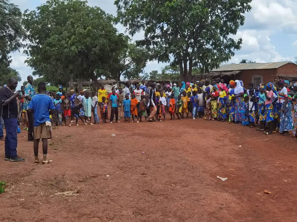
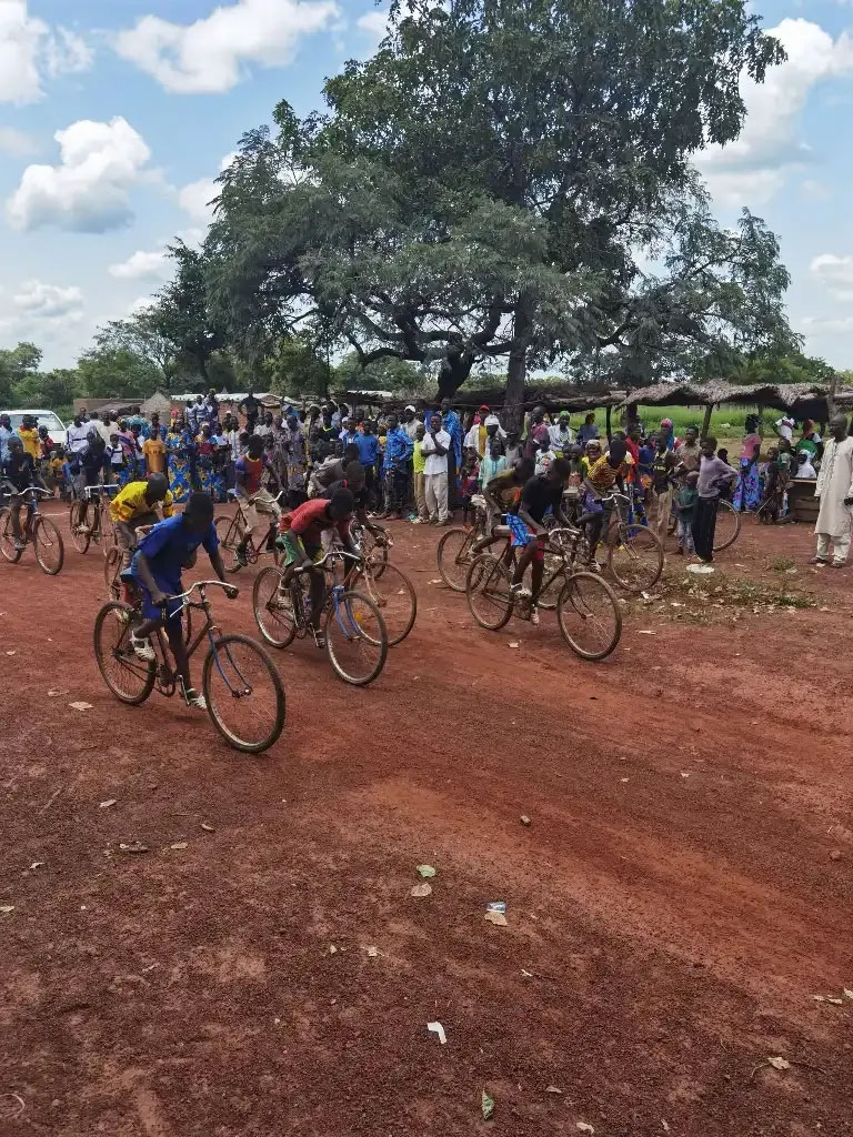
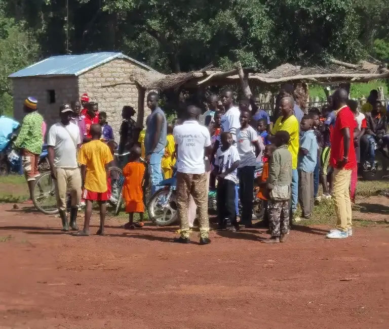
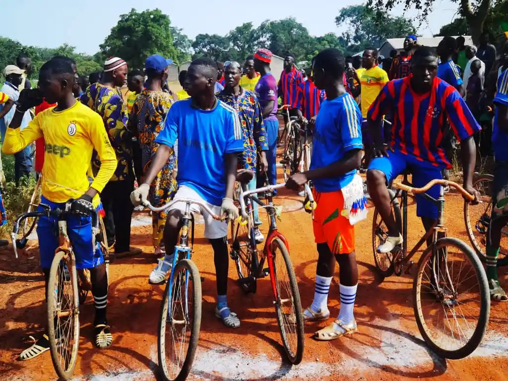
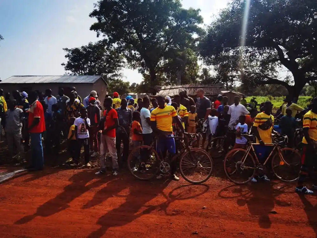
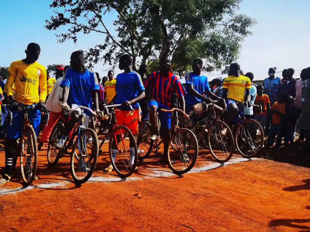
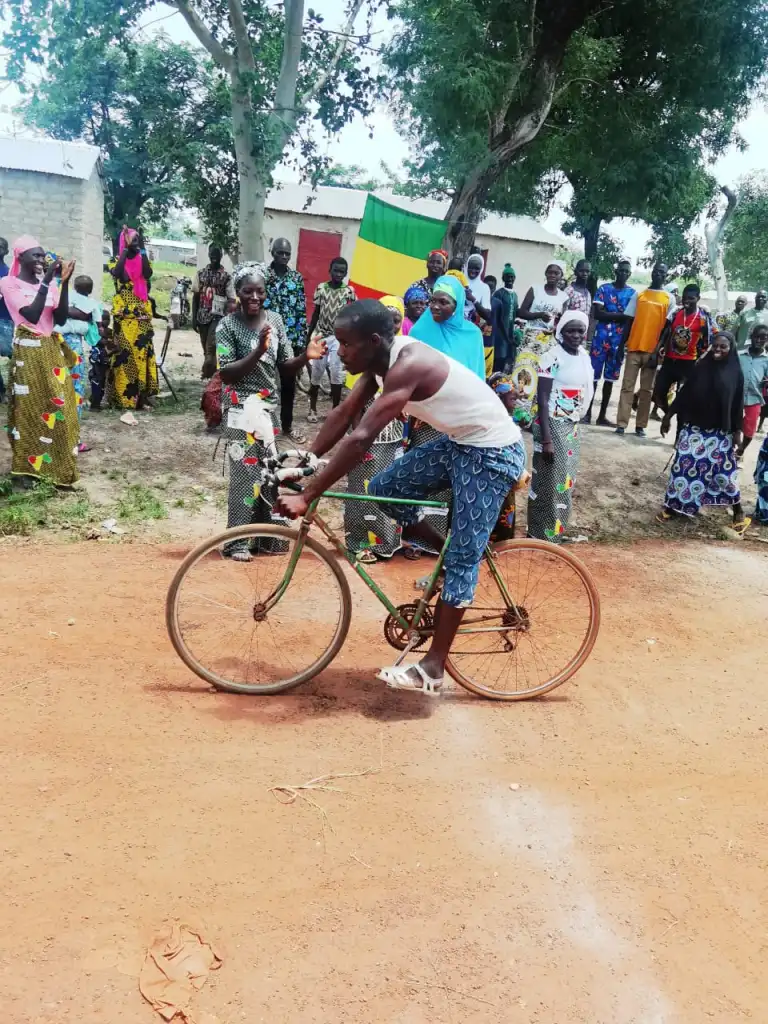
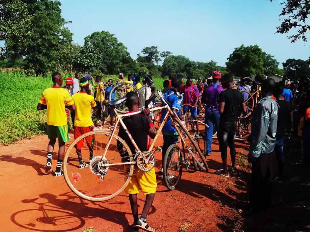
Relations with the local population
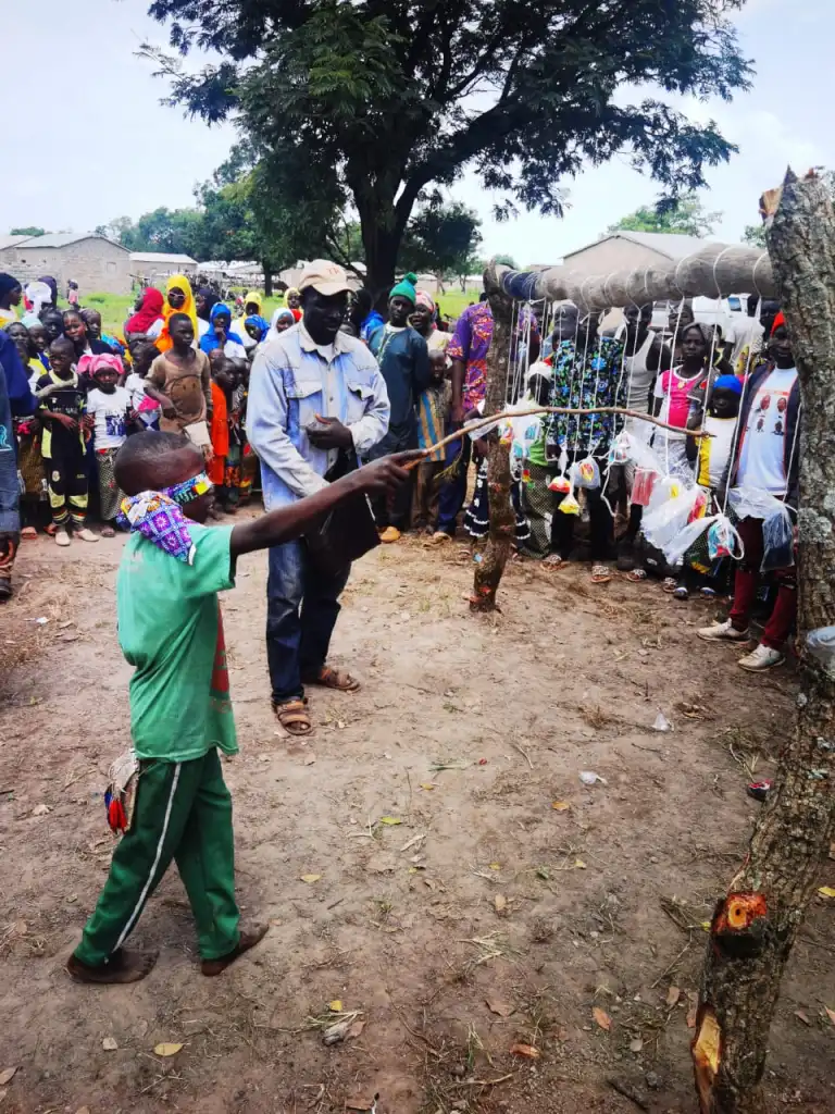
The from the outset, the GGS has attached great importancet to develoing a good and balanced working and personal relationship with the local communities where the drillings programs are being carried out.
We employ more locals and try to engage in social, health and other activities that can satisfy the need of people.
On rest days, we organize joint programs in which, in addition to our employees, their family members and other members of their community participate.